Main Content
Lesson 2: TIntrodcution to Police Organization
Spatial Complexity
Spatial complexity refers to the geographical spread of a police agency. Consider the Village of Barker in Niagara County, New York. According to the 2010 US Census, Barker had a population of 533. The entire village is a beat. We could say that the Barker Police Department is not spatially complex.
In contrast, big city police agencies are divided into districts and beats. New York City Police, for example, are divided into precincts and sectors within those precincts to serve its 8.5 million residents. (How many villages of Barker could fit in New York city?!)
Barker and New York City represent two extremes in policing. However, there are many size departments in between with varying levels of spatial complexity.
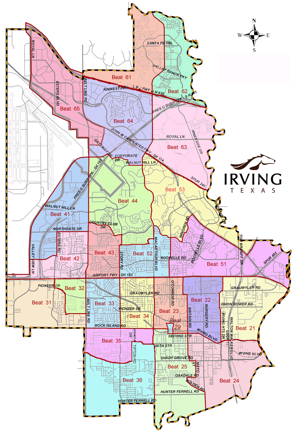
The map below depicts the beat map for the police in Irving, Texas, who serve around 238,000 residents. (Beat Map can be accessed online on Irving Police website).
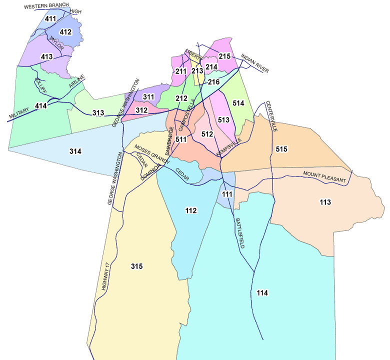
Another example of varying spatial complexity is the city of Chesapeake, Virginia:

To see what each beat looks like, visit the Chesapeake, Virginia Police Department website. Click on each beat to see how populated it appears to be. Do some beats seem to be more populated with businesses and residents than others?
